Tracing Byzantine water ducts through the Thracian oak woodland
An unmapped footpath following ancient stone channels reveals how mountain springs once supplied an empire.
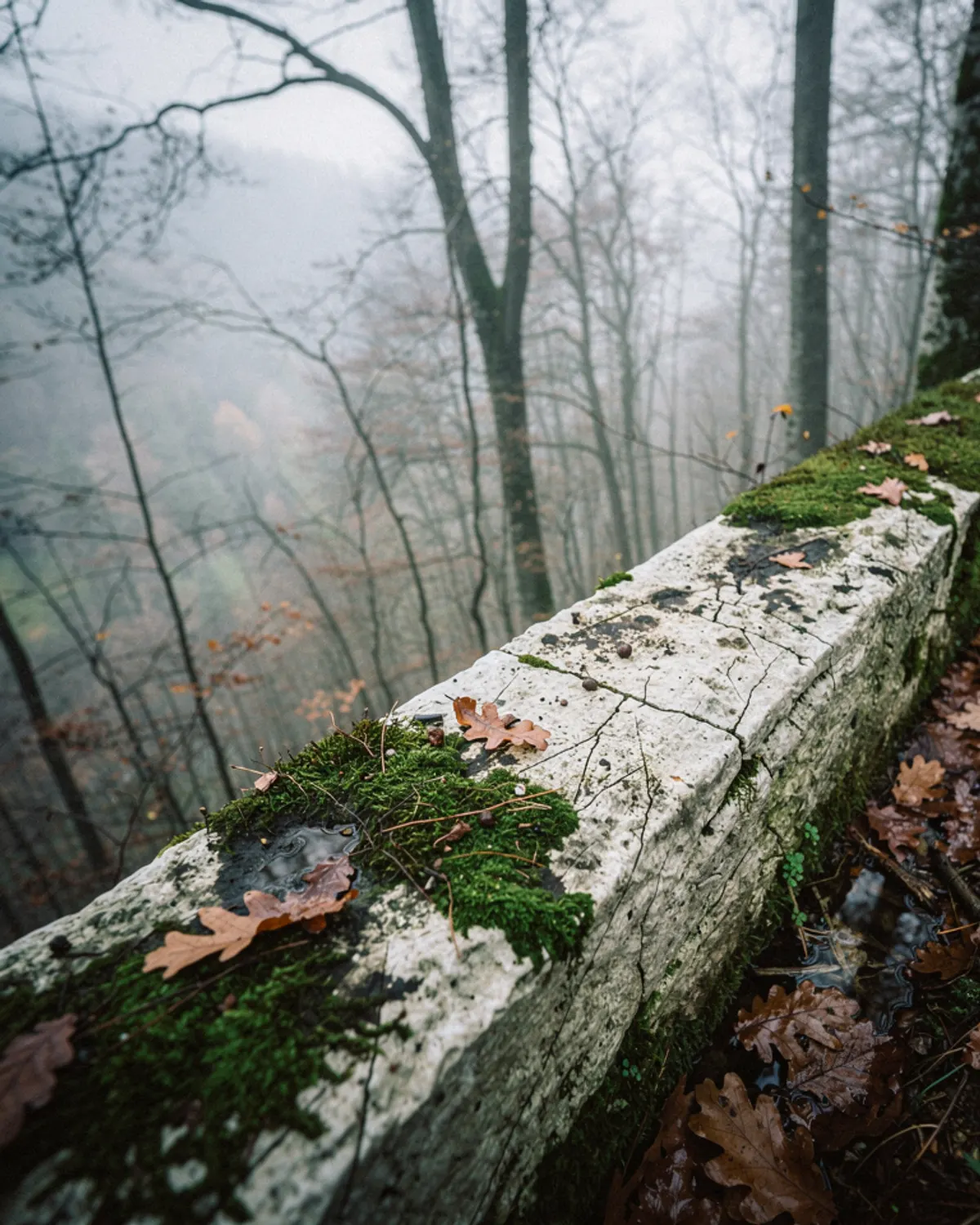
Illustration. Tracing Byzantine water ducts through the Thracian oak woodland
The northern foothills of the Strandzha range, known locally as the Istranca mountains, are blanketed by dense stands of sessile oak, hornbeam, and beech. Under this thick canopy, the woodland floor stays damp for most of the year, carpeted in deep layers of decayed leaves and bright green cushion moss. For modern hikers, the appeal lies in wandering off gravel woodland roads to follow the faint, linear depressions of fourth-century hydraulic engineering.
Centuries ago, master masons cut a subterranean aqueduct system stretching more than two hundred kilometers to channel pure mountain spring water all the way to Istanbul. Much of this network remains buried beneath roots, but along steep valley contours, the stone-lined channels break out onto surface level, tracing natural topography with astonishing geometric precision.
Finding the masonry trace
Walking this route requires looking for signs that nature did not create: a ledge of pinkish hydraulic mortar exposed by a wild boar's rooting, or a squared limestone lintel peeking through fern fronds. The channel itself is roughly one meter wide, lined with fired clay bricks and coated in a waterproof lime plaster mixed with crushed pottery (*horasan* mortar) that remains impervious to water.
Site conservator Tahir Bey, who has mapped sections of the channel for regional archaeological registers, points out how the ancient surveyors followed natural contours to maintain a steady drop of just one meter per kilometer. 'They did not conquer the ridge,' he remarks, leaning on his hazel walking stick beside a dry siphon vault. 'They negotiated with it. The water walked downhill at the pace of a grazing cow.'
Crossing the valley bridges
Every few miles, the woodland path opens suddenly into deep ravines where the channel had to be carried across open air on massive multi-tiered stone bridges. Coming upon one of these structures in the middle of dense, uninhabited woods is startling. Enormous blocks of dressed granite rise thirty meters through the canopy, their arches draped in wild ivy and maidenhair ferns that drink the seepage of perennial springs.
We pause on an arched abutment above the tree line. Below, a small mountain stream rushes over granite boulders, its sound muffled by the damp woodland air. The masonry here has survived earthquakes, root heaving, and winter freezes. Running your hand along the stone reveals the chisel marks of quarrymen who smoothed these faces while Rome still held court on the Bosporus.
The descent into village clearings
As afternoon fades, the trace leads down toward the farming hamlets of Vize. The dense oak woodland thins into pastures where sheep bells ring with a mellow, rhythmic clang through the clearing mist. The stone channel disappears beneath modern tractor tracks, its presence marked only by a line of wild walnut trees that took root in the moisture retained by the ancient masonry.
In the village square, where elderly men sit around an iron woodstove beneath a plane tree, water still flows from an arched stone fountain fed by the same mountain veins. Splashing cold water onto your face from the iron pipe connects the woodland hike to domestic routine. The aqueduct is not merely an excavation subject; it remains a living conduit that has shaped human habitation here for seventeen centuries.