Survey off Kas charts submerged anchorage stones and classical amphora clusters
Marine researchers working in shallow bays along the Lycian coast have completed a seasonal sonar and diving survey. The seabed mapping revealed lost stone anchor stocks and ballast mounds along an ancient maritime passage.
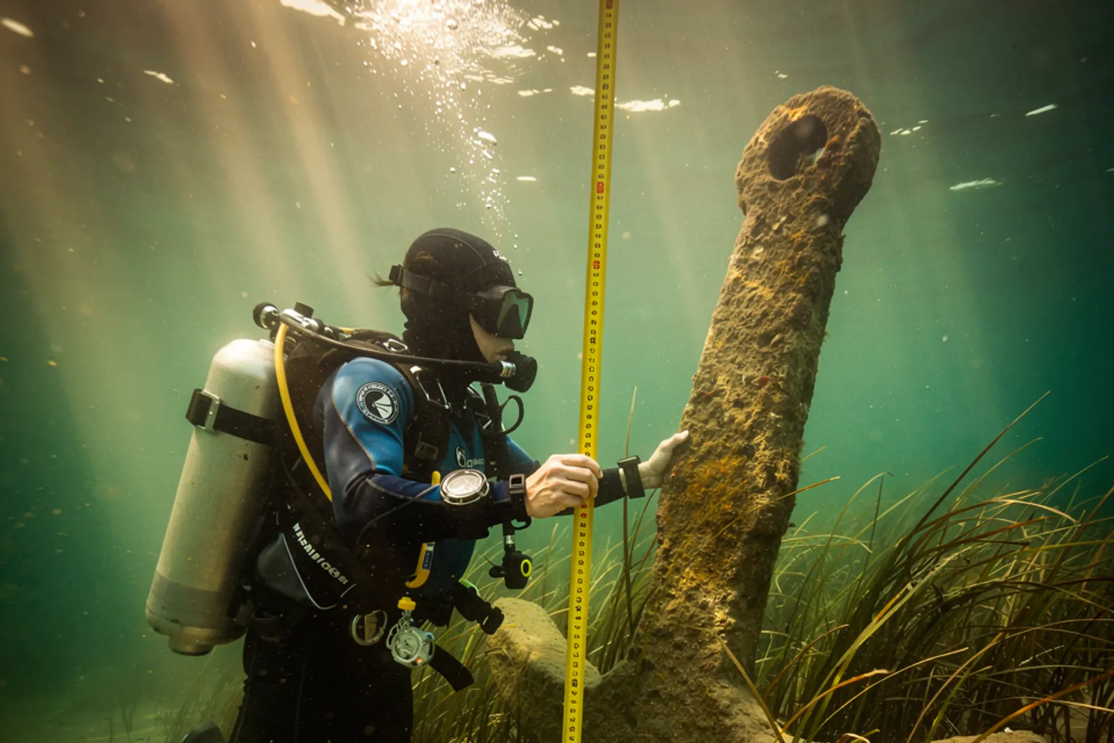
Illustration. A marine researcher measures an ancient carved stone anchor resting on the sandy seabed amid seagrass.
Where
Kas, AntalyaMediterranean region
Marine surveyors working from a wooden research ketch off the Kas peninsula concluded their underwater documentation program this week. Divers used handheld acoustic transponders and photographic scales to plot sunken harbor equipment and ceramic scatters across a shallow limestone shelf. The seabed contains layered evidence of coastal merchant vessels that sought shelter behind rocky capes during sudden Mediterranean squalls.
The project relied on high-frequency side-scan sonar to detect anomalies rising from the sandy bottom before divers verified individual features. Over two dozen dive rotations yielded coordinates for stone anchors ranging from simple perforated limestone weights to worked lead stocks. The maritime team leaves all artifacts in situ, prioritizing photogrammetric three-dimensional scanning over underwater salvage.
Shelter behind the islands
The surveyed strait served for centuries as an essential coastal transit lane for merchant ships hauling olive oil, wine, and processed timber. When southerly winds blew hard, vessels gathered behind the offshore islets, occasionally losing anchors in the jagged underwater crevices. Divers identified clusters of pointed-base transport amphoras wedged among the posidonia seagrass meadows.
Many vessels dumped heavy stone ballast mounds before entering shallow creek mouths to take on drinking water and citrus supplies. The distribution of stones matches maritime routes described in surviving classical periplus navigation logs. The field team cataloged each anchor type to correlate stone varieties with nearby regional quarries along the Lycian shore.
“Every stone anchor recorded on the seabed tells us where mariners dropped lines in a hurry when squalls broke over the headland.”
Turgut Oner, underwater survey coordinator
Seagrass and sediment protection
Dense meadows of Mediterranean tapeweed play an essential role in keeping fragile ceramic bodies stable under water. The root systems trap shifting sand, forming protective blankets that shield ancient pottery from wave turbulence and recreational boat anchors. Researchers worked carefully around the posidonia beds to prevent disturbing marine flora during measurement passes.
Divers used flexible fiberglass tapes and underwater digital cameras mounted on aluminum bars to create stereoscopic site plans. The visual surveys showed that several amphora rims retain traces of natural pine resin liners used to waterproof wine vessels.
- Single-hole pyramidal limestone anchors from coastal craft
- Two-hole composite stone anchors embedded in sand ridges
- Amphora neck fragments coated internally with conifer pitch
Long-term monitoring network
The survey team plans to link their coastal bathymetry charts with regional marine monitoring databases maintained by local harbor masters. Acoustic transponders will allow divers to check anchor positions each spring for evidence of seabed erosion or shifting current channels. The digital models will enter a municipal archive accessible to cultural heritage researchers.
With autumn sea conditions growing choppy, the ketch returned to port to begin processing underwater digital imagery. The resulting maps will help provincial authorities designate sensitive anchorage zones that steer modern yacht anchors away from fragile historic remains.
Sources
- Lycian Shelf Marine Survey Field Briefing — Mediterranean Coastal Archaeology Center, Transect Kas-South Sector 3
Spotted an error? Write to [email protected] — see our corrections policy.